Explore high resolution data in context
Cross fifteen orders of magnitude in one uncut, uninterrupted flight to explore spacecraft imagery and elevation data from NASA and other missions.
Planetary surface rendering
Mission data
Every surface is built from spacecraft imagery and elevation measurements: HiRISE and MOLA for Mars, LRO for the Moon, Cassini for the outer planets. No artist approximations.
Continuous at every scale
Fly from interstellar space to the texture of Martian regolith in one uncut flight, fifteen orders of magnitude with no load screens, no transitions, no second application.
Live layer blending
Stack base imagery, colorized elevation, scientific overlays, and labels simultaneously. Toggle and blend layers live during a presentation without pausing or switching scenes.
Featured worlds
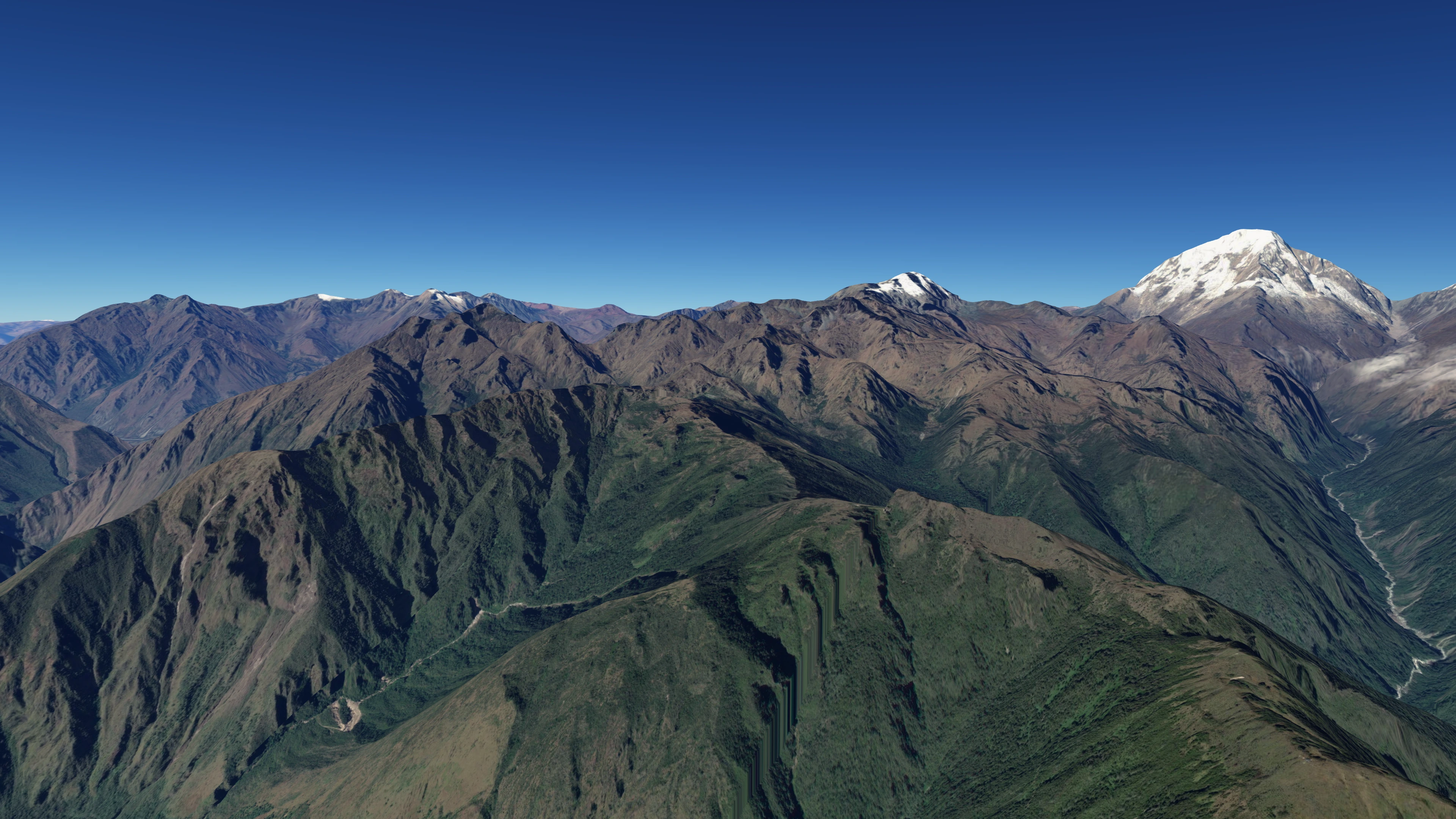
Earth's terrain up close
ESRI
Fly the length of the Andes, descend into the Mariana Trench, or trace a river delta from source to sea. Satellite imagery and elevation data give every mountain range, canyon, and coastline its true shape and scale.
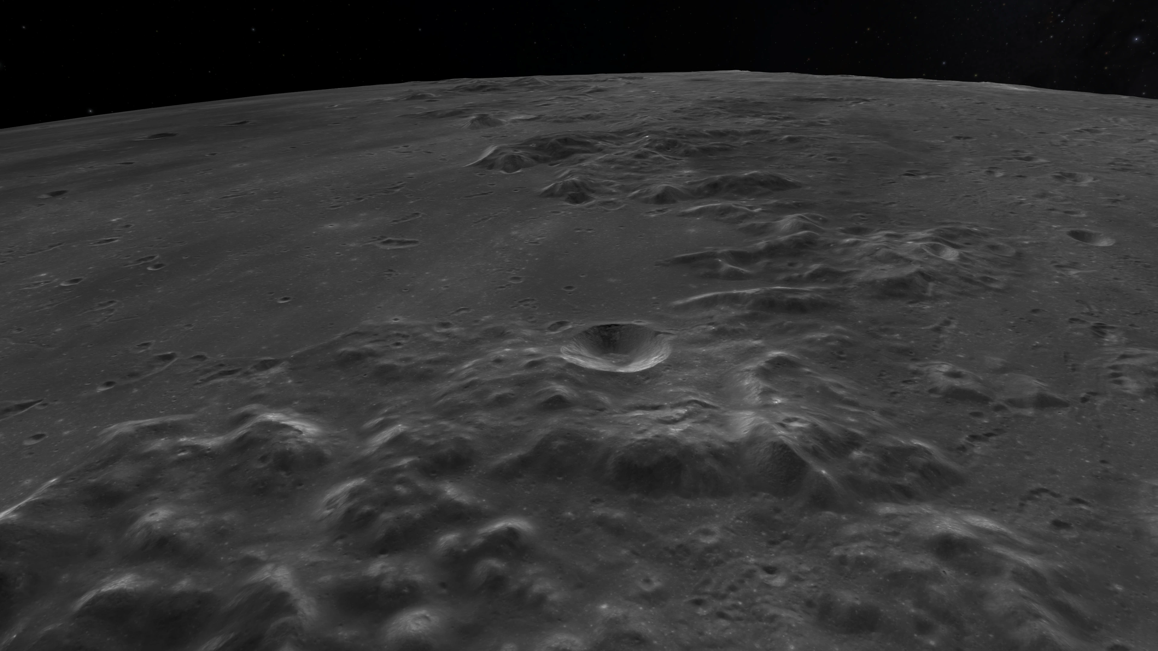
The Moon in detail
LRO · LOLA · Kaguya
Visit Apollo landing sites, trace the rilles of Vallis Schröteri, or zoom to the meter-scale surface texture of the lunar highlands. LRO imagery and LOLA elevation data render the Moon at full mission resolution.
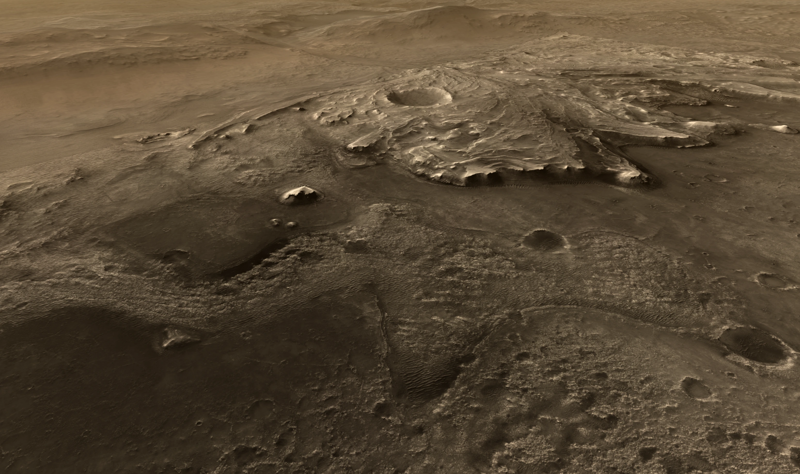
Mars at full resolution
HiRISE · MOLA · CTX
Land at Jezero Crater, follow Perseverance's traverse, then pull back to the full planet — without leaving the application. HiRISE surface imagery and MOLA elevation data compose a continuous view from orbit to terrain.
Data layers
Stack and reveal live
Multiple data layers can be active at once and blended in real time. A presenter can toggle them live during a show with no pausing, no switching scenes, and no prerendering needed.
- Base imagery from multiple spacecraft missions
- Colorized elevation from MOLA, LOLA, and radar altimetry
- Scientific overlays including mineral maps, temperature, and atmospheric data
- Time-varying data: watch ice caps advance and retreat
- Toggleable labels and graticules at any scale
Start exploring planetary surfaces
Globe Browsing is built into every copy of OpenSpace. Download free, or browse the documentation to see what data is available for each world.